Ride the historic Natchez Trace Parkway


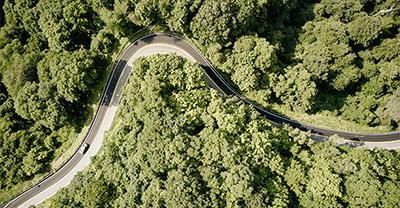
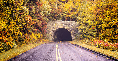
On the Natchez Trace Parkway, you can cruise through 10,000 years of history over 444 miles and three states. As you follow the twists and turns of the parkway, you’ll find historical sites, awesome views, and towns where you can stop, refresh, and refuel. Don’t miss anything this public trail has to offer with our helpful route guide.
The Natchez Trace route map
If you plan to ride the full parkway, you’ll need at least two days. The 444-mile trip can be easily broken into two sections, with a midway stop in Tupelo, Mississippi, the birthplace of Elvis. However, there are hundreds of opportunities to stop and enjoy the view, camp, hike, and explore, so you could easily stretch your trip to several days.
Keep in mind there are no gas stations available directly along the Natchez Trace Parkway. You'll need to jump off the parkway to fill up, so it’s best to plan your stops in advance. Our route map will help you plan an excellent ride.
Weather along the Natchez Trace
Planning for the weather is vital so you know what to pack, what gear to bring, and what to expect. Depending on when you ride and where along the 444-mile route you pick up the Natchez Trace, the weather can vary. Use the following monthly weather charts for three cities along the route to help you plan accordingly. And before you head out, check out current conditions from the National Park Service.
Safety tips for riding the Natchez Trace Parkway
Stay aware of your surroundings and driving conditions. This is a recreational route with narrow lanes shared by cars, motorcycles, and bicycles. Enjoy the lowered speed limit of 50mph and look out for slow-moving traffic, potentially distracted drivers, animals in the road, and little to no shoulder in some areas.
Know how to navigate in “dead zones”. Cell phone service can be spotty along the parkway and internet access is available at some but not all visitor centers and campgrounds. A physical map or a route map downloaded from the National Park Service app can help you navigate even without a signal.
Recommended stops along the Natchez Trace
The Emerald Mound
At mile marker 10, just outside of Natchez, Mississippi, you can visit one of the largest ceremonial mounds sites in the United States. The Emerald Mound has been designated a National Historic Landmark and is an awesome opportunity to learn about the history of Mississippi’s native population.
Rocky Springs ghost town
If you love war history, you won't want to miss this Civil War-era ghost town at milepost 54.8. Rocky Springs was first settled in the 1790s and grew into a town of over 2,500 people. By 1930, it was completely deserted, leaving behind only the town's church and cemetery. You can hike the grounds, and the church is open to the public. It's also common to see wildlife in this area, such as deer and turkey.
Ross Barnett Reservoir overlook
If you’re looking for some time near the water, the Barnett Reservoir is a great stop. You can visit the reservoir overlook at mile 105, or enjoy the local fishing, camping, and recreation opportunities the area has to offer.
Cypress swamp
Stretch your legs at mile 122 with a stroll through the uniquely beautiful Cypress Swamp. Learn about the ecological history that created this forest of trees growing out of the swamp waters.
Tupelo
As mentioned, Tupelo is a good mid-way stop (exit at mile 260). This city offers everything for an enjoyable evening out, including a friendly atmosphere and must-try restaurants like the Blue Canoe or the Neon Pig Cafe. Being Elvis’ birthplace, the city has no shortage of live music, so keep an eye on who’s playing while you're there.
You can also visit the Tupelo Veteran's Museum and the Relics Antique Marketplace.
Drive the Old Trace
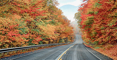
At mile 375.8 and mile 401.4, you can veer off the main parkway to explore approximately 2-mile sections of the Old Natchez Trace on your bike—RVs and buses are prohibited. The narrow roads often have low-hanging limbs, so take these stretches slowly, enjoying your surroundings—especially when viewing the fall colors.
Old Trace Drive is a dirt road (one-way north) that appears much like it did in the early 1800s. Before you join the second segment of road at mile marker 401.4, you’ll find a tobacco farm typical of the early 1900s that you can explore.
The general information in this blog is for informational or entertainment purposes only. View our blog disclaimer.
*Data accuracy is subject to this article's publication date.


